Geolocation Database For Travel Products

A complete database with detailed information on every airport, country and city.

  • IATA codes
  • ICAO codes
  • Airports
  • Cities
  • Countries
  • GEO locations
  • Time Zones & UTC
  • Alpha codes
  • Airport status
  • Airport traffic
  • Airport website
  • Airport address
  • Airport phone
  • Airport working hours
  • City photo
  • City population
  • Country currency
  • Country population
  • Country phone code
  • Country capital
  • Designed for travel products
  • JSON & XML APIs available
  • CSV file export
  • Verified and updated daily

Essential geolocation data for your travel apps

Accurate geolocation data is the backbone of any travel product. The Airhex geo database allows you to build and maintain up-to-date geolocation information in your travel product with ease.


General info
Airport name: Los Angeles International Airport
Airport status: Active
Flights per week: 19528
Time zone: America/Los_Angeles
UTC offset: -7
Codes & location info
Airport IATA code: LAX
Airport ICAO code: KLAX
City IATA code: LAX
Country code: US
Latitude: 33.943399
Longitude: -118.408279
Contact info
Website: https://www.flylax.com
Address: 1 World Way, Los Angeles, CA 90045, USA
Local phone: (855) 463-5252
International phone: +1 855-463-5252

Download the Airhex demo data now

Download a demo set
& get a test API key  →

General info
IATA code: LAX
City name: Los Angeles
State: California
State code: CA
Country: US

Location & population info
Latitude: 34.0522342
Longitude: -118.2436849
Population: 3,930,586
Popularity rank: 13,663,278
City photo & timezone
City photo: preview
Time zone: America/Los_Angeles
GMT offset: -7

Download the Airhex demo data now

Download a demo set
& get a demo API key  →

General info
Country name: United States
Alpha 2 & 3 codes: US / USA
Region: NA / North America


Capital & currency
Capital IATA code: WAS
Currency: USD
Phone code & population
Phone code: +1
Population: 310,232,863

Download the Airhex demo data now

Download a demo set
& get a demo API key  →
airline logo

Try the Airhex demo set now

Download a demo data set Get a pricing quote

An up-to-date GEO coding directory

Flight data is transmitted in a coded format that is challenging for an average passenger to understand.

The Airhex database helps to correctly decode and organize geolocation information in your travel product so that your users can always see clear and up-to-date information on cities, airports, and countries.

KE-1202 CJU-GMP

Korean Air flight #1202
From Jeju International Airport, Jeju, Korea
To Gimpo International Airport, Seoul, Korea

Get, set, and forget

Download all the GEO data in a single CSV file or fetch it programmatically with Airhex API.

1

Download all data at once

Get all the airline data listed in one CSV file, or integrate it via API directly into your product.


See our API documentation →

2

Fetch updates easily

Download the updated database periodically or integrate the API once and get updated GEO data automatically.

See what the database includes →

3

Let us do the rest

We check on, review, and update all geolocation data daily to ensure you always have the most recent and relevant information on hand.

See the content changelog →

Additional ways to boost user experience (UX)

Airhex provides extra useful content to improve your product's user experience and conversion rates by making it easier to interact with.

Perfect autocomplete for your product

The database contains reliable information on the popularity of cities & airports from our global flight search partners.


745 licensed photos of destinations

You no longer need to waste time looking for destination photos. We have added over 500 licensed photos of the most popular destinations to the database.

Try the Airhex demo set now

Download a demo set
& get a demo API key  →

Trusted by hundreds of travel companies

  • Wego

    Travel metasearch

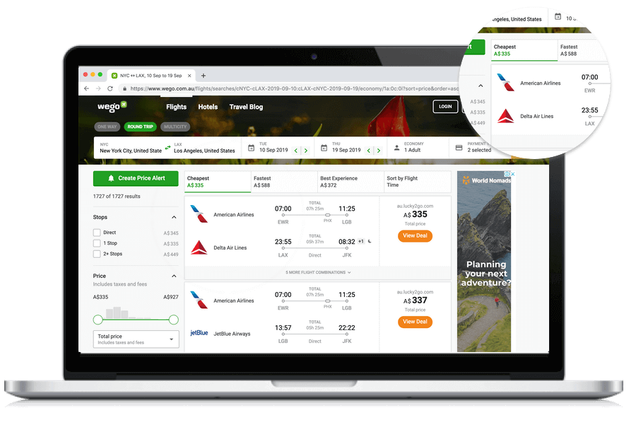
    We used to spend quite a bit of time on cropping, editing, and keeping airline logos up to date. Airhex helped us to save time, so that we could focus on building a great travel website Natalya Kosenko, Project Manager at Wego
    1 / 4
    Wego product
  • Easyvoyage

    Online Travel Agency

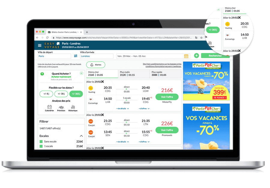
    Airhex provides extensive, high quality airline data and logos Laurent Vandembergue, CTO at Easyvoyage
    2 / 4
    easyvoyage product
  • Inflyter

    Travel Startup

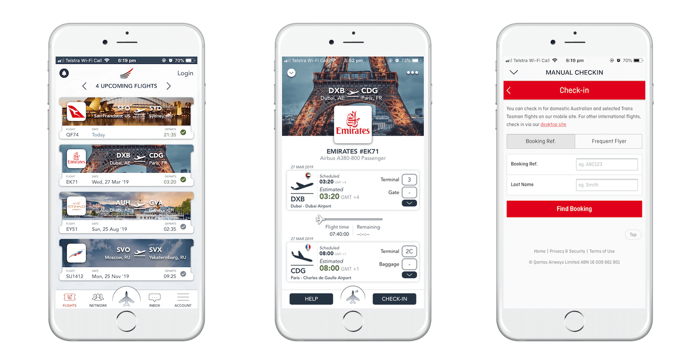
    We have been using Airhex for 18 months. It's a reliable data platform and they provide a high quality airline logo design Wassim Saadé, Founder & CEO at Inflyter
    3 / 4
    inflyter product
  • Codegen

    Travel Tech Company

    With Airhex we can focus on the development work rather than wasting time on creating something that already exists Mohamed Shirazi, Head Customer Relationships at Codegen
    4 / 4
    codegen product
  • Aviasales
  • TUI
  • Omio
  • Easyvoyage
  • FTI
  • Greitai
  • iTrain
  • Airtrade
  • Inflyter
  • Navitas

More data for your travel products

  • airline logos
  • Airline logos database with auto updates

    870 Retina-grade logos, symbols, and tails, matched with airline IATA and ICAO codes. Automatic updates, consistent format and aspect ratio, with easy export via single ZIP archive or API.

    See what logos included →
  • airline database
  • Airline information database

    All information about 870 airlines in one place: category, status, links, history, and other information with daily updates and instant access.

    See what the airline database includes →

Get pricing details and request full access

Due to licensing regulations, Airhex pricing is individualized and based on your technical requirements, type of business, and the country where your company is registered.

Get a quote
Get a quote

GEO coding database FAQ

Get all the answers about GEO essentials by Airhex

  • What are Airhex's Geo Essentials?

    It's a comprehensive database / airports/cities/countries coding directory offering detailed information on airports, cities, and countries, including codes, locations, time zones, and more, designed for travel products.

  • Why do I need a proper geolocation coding directory?

    Data in the world of the travel business flows mostly as industry codes. For example, one of the most popular flights in the world would be transferred between travel systems as 7C-112 CJU-GMP $35. The only information familiar to passengers is the last piece of text with a price, and in order to convert the rest of the data to a human-readable format, the country, city, airline, and airport code data are required.

    If you pass this example through the coding directory, it would be a Jeju Air flight #112 from Jeju International Airport, Jeju, to Gimpo International Airport, Seoul. So a proper airport database is essential and critical for the UX and conversion rates of your travel business.

  • How do you update the database?

    We aggregate and verify all data from multiple sources and monitor changes, adding new airlines and airports to the database as soon as they commence operations and become active.

    We also collect information that empowers you to provide a better user experience to your customers, such as timezone and UTC offsets and airport location geocoordinates.

    We check and update all the information in the databases every day, which makes it possible to be sure that your product always provides users with up-to-date information.

  • What files does the GEO Database consist of?

    All information from the database can be downloaded as a single archive or obtained via API. The archive contains 3 folders — these are databases by airport, city, and country. Each database is a CSV file in which all characteristics and parameters are located in a convenient format.

    We track all changes both manually and programmatically with our very own software that checks and compares an airline's changes on its own website. And if there are any changes or a new airline takes off, we roll-out a fresh version of the data within a few hours. Some of the biggest travel brands rely on us.

  • How does the API work?

    There are three API endpoints - airport endpoint, city endpoint, and country endpoint. Each endpoint retrieves specific entry details or dumps the entire database with output in JSON, XML or CSV file.

    See the API documentation →

  • What types of data are included?

    Information ranges from IATA and ICAO codes to city populations, country currencies, and airport details like address, contact details, website and working hours.

  • Why is this database important for my travel business?

    It enables clear, up-to-date geolocation information for users, enhancing UX and potentially improving conversion rates by making travel details easily understandable.

  • How does Airhex's autocomplete feature enhance UX for travel products?

    It uses reliable data on city and airport popularity to provide precise and efficient autocomplete suggestions, improving the search experience for users. Moreover, the data is sorted by popularity, allowing users to see the most relevant options when they select their destination in search forms.

  • What advantage do the licensed destination photos in the Airhex cities coding directory offer?

    These photos save time for businesses by providing ready-to-use, appealing images of popular destinations, potentially increasing user engagement and conversion rates.